Communication Systems in the Maritime Industry
Marine communication has long history and continues developing to this day. For the last years this field have been changed and innovated greatly.
At the first stages of its evolution semaphores and flags were used, later mariners began using radio for transmitting distress signals and also Morse code was in practice.
Only in the second half of twentieth century IMO brought in an automated system of ship-to-ship or ship-to-shore communication and the constant presence of marine officer wasn’t necessary any more.
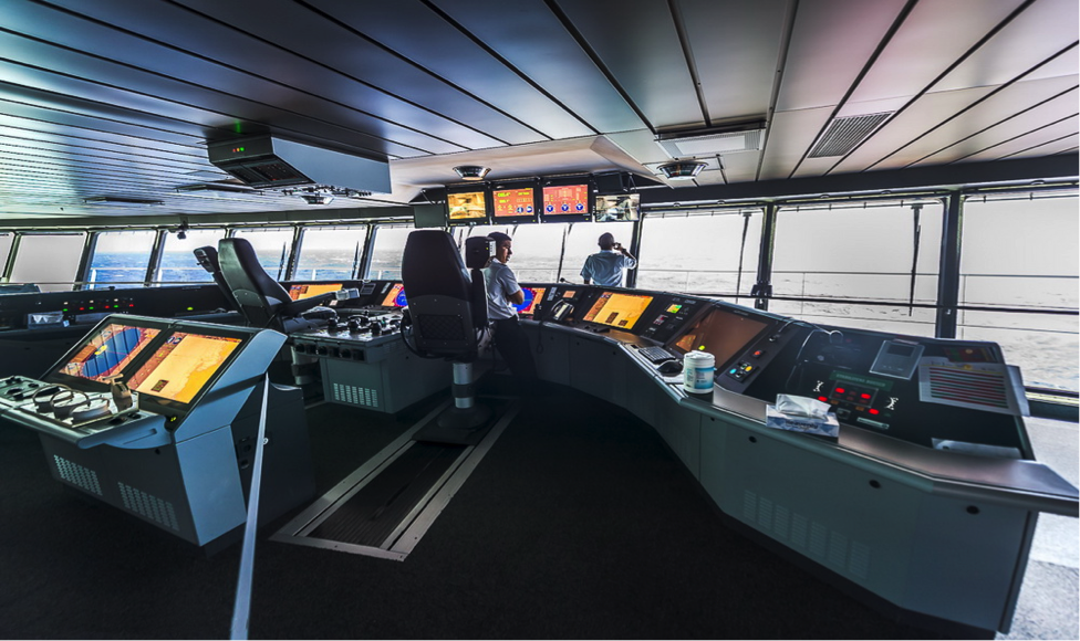
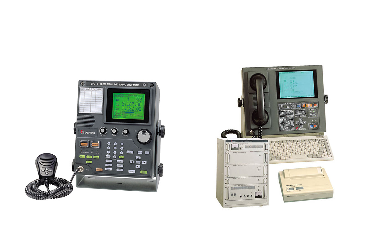
Such communication was held by means of on board systems through the shore stations and satellites. Thus ship-to-ship communication was carried by VHF radio, and then DSC appeared. It could provide digitally remote control commands to receive and transmit distress signals, urgent calls and current messages. Today DSC controllers can be combined with VHF radio.
Satellite communication systems are used to transmit and receive signals in cases when the ship is out of the coverage area of shore stations. The work of such systems depends on geo-stationary satellites. These marine services became available thanks to the commercial company INMARSAT and government agency COSPAS-SARSAT. The INMARSAT provides two way communication, the system of Corpas-Sarsat allows to receive emergence signals when there are no facilities of two way marine communications (denoting EPIRB).
Under international requirementsthe GMDSSdefines four sea areas: A1, A2, A3 and A4. Such division allows tracking areas where GMDSS services are available and defining what radio equipment ships must carry (as type of radio safety equipment depends upon the GMDSS areas in which ships travel).
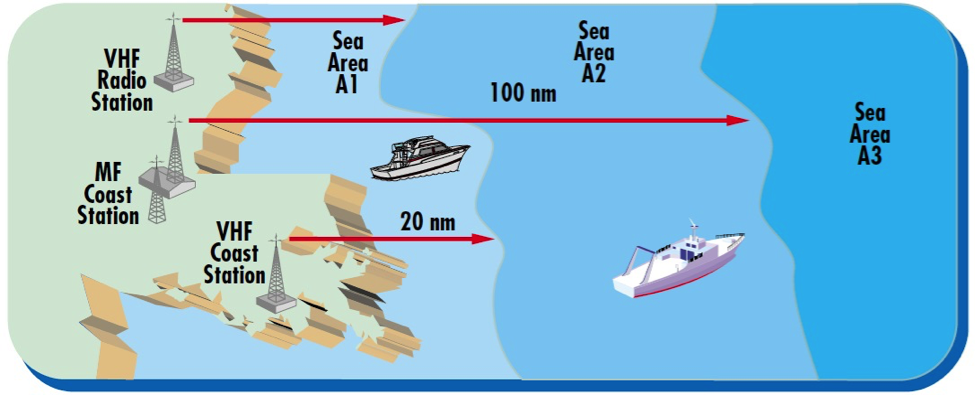
A1 – 20-30 nautical miles from coast station – at least one VHF coast station covers this area. The continuous digital selective calling (Ch.70/156.525 MHz) alerting and radiotelephony services are available.
A2 – the area within a coverage of at least one coast MF radio station providing continuous monitoring at a frequency of 2187.5 kHz (DSC) and radio communications in telephony mode at a frequency of 2182 kHz (100-150 nautical miles), except for the area A1.
A3 – the area within the zone of coverage of geostationary satellites INMARSAT (approximately 70ºN and 70ºS) with the exception of areas A1 and A2.
A4 – this area is beyond all other ones. It includes the Polar Regions, North and South of about 76 degrees of latitude.
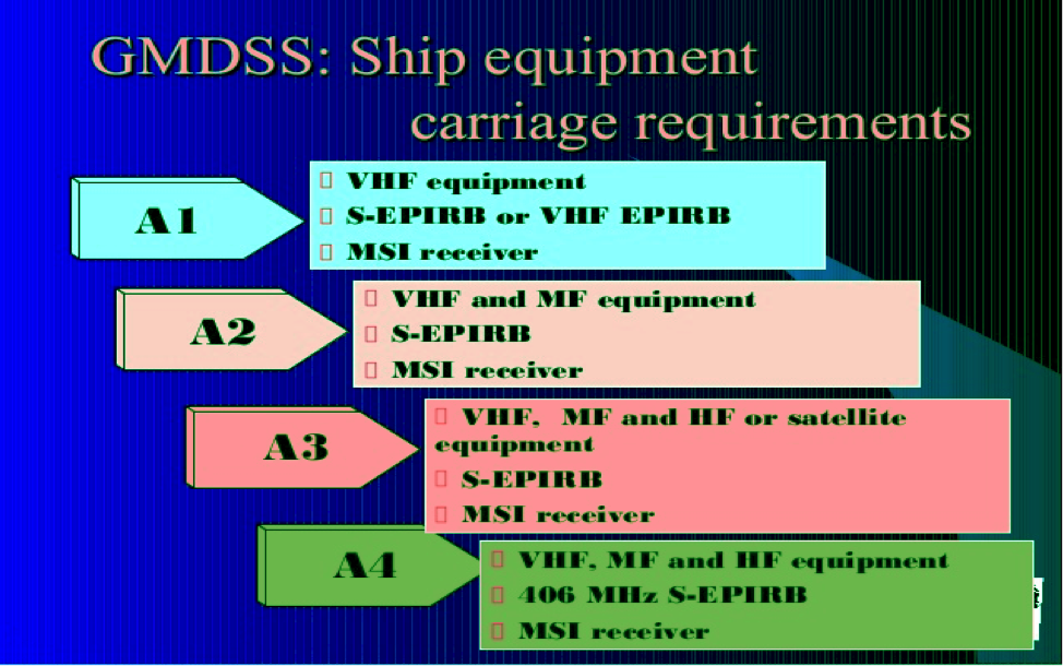
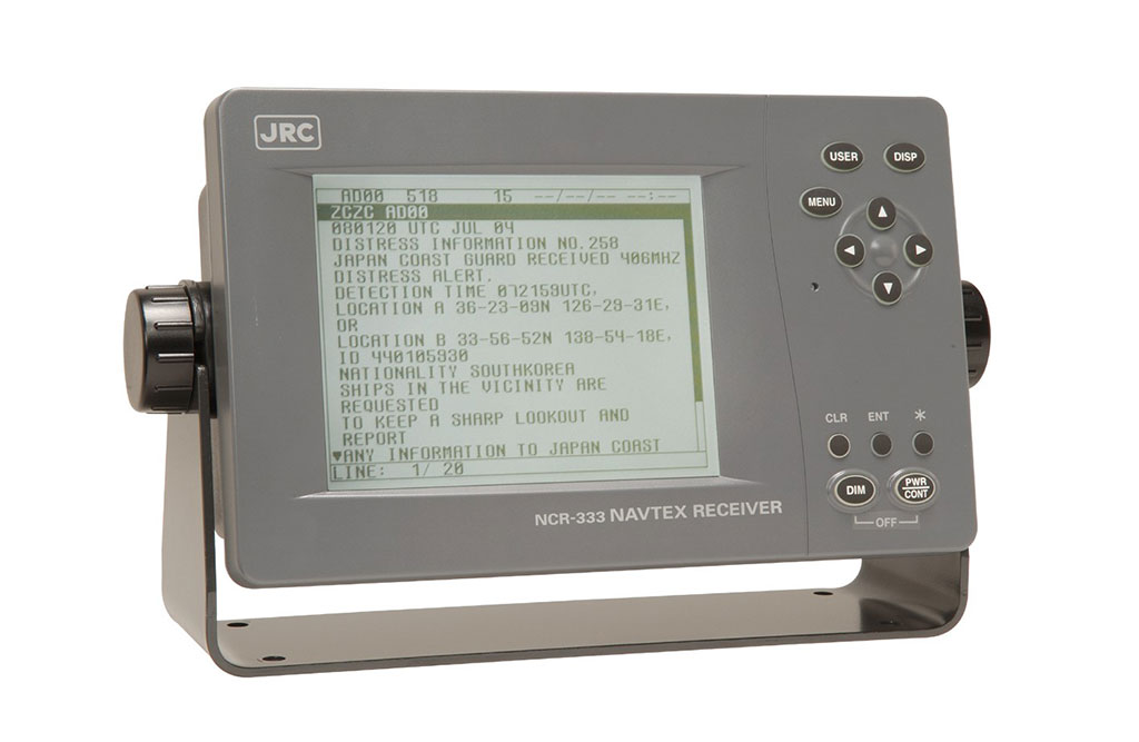
HF marine communication services cover all the oceans. According to IMO each ocean regionshould have two coast stations. As SOLAS requirements describe, all ships should be equipped with the satellite terminal for SSAS (Ship Security Alerts System) and for long range identification and tracking. In emergency situation the rescue operation are carried out with the help of these marine navigation tools.
Undoubtedly we can say for sure that today navigating and simply going to sea have become much safer thanks to communicational systems recommended by the IMO and required by GMDSS.
By Julia Zhyvotova

Be the first to comment